ASTM D2487 and D422 provide the backbone for soil classification, but their real value emerges when applied to the stratified alluvium underlying Louisville. The Ohio River floodplain deposits—a mix of fine-grained lacustrine silts and coarser glacial outwash—demand a grain size analysis that goes beyond a simple sieve stack, because the transition from sand to silt and clay fundamentally controls drainage, frost susceptibility, and bearing behavior. Our laboratory runs the full mechanical sieve series plus hydrometer sedimentation, producing a continuous curve from gravel down to the colloidal fraction. In a city where the water table often sits within six feet of the surface, the percentage passing the #200 sieve isn’t just a number—it defines whether a footings design will perform or whether the engineer needs to switch to a deep foundation strategy like piles driven into the competent glacial till.
A grain size curve is the soil's fingerprint—miss the silt-to-clay transition in Louisville's alluvium, and you misjudge everything from compaction to seismic response.
Our approach and scope
Local geotechnical context
The mistake we see repeatedly in Louisville projects—especially on infill lots near Beargrass Creek—is basing foundation drainage decisions on a sieve-only report that lumps all fines as 'silt.' When a hydrometer isn't run, the true clay fraction remains invisible, and the engineer specifies a granular drainage blanket that clogs within two seasons because the surrounding soil actually carries 18 percent active clay. That oversight leads to hydrostatic pressure buildup behind basement walls and retaining structures, a failure mode that’s entirely preventable with a complete grain size analysis. In seismic terms, the USGS seismic hazard maps place Louisville in a zone where long-period ground motion from the New Madrid and Wabash Valley seismic zones can trigger excess pore pressure in saturated silty sands—so knowing the exact fines content and gradation shape through a full liquefaction screening becomes a direct safety issue, not just a classification checkbox.
Applicable standards
ASTM D2487 (USCS Classification), ASTM D6913 / D422 (Sieve Analysis), ASTM D7928 (Hydrometer Analysis), ASTM D2216 (Moisture Content), AASHTO T 88 (for KYTC projects)
Complementary services
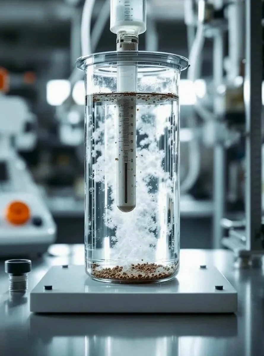
Full Combined Sieve & Hydrometer
We process the specimen through the complete stack from 3-inch sieve down to the colloidal range, reporting D10, D30, D60, Cu, Cc, and the full distribution curve. This is the baseline package for any Louisville project where drainage, frost protection, or seismic settlement is a design consideration.
Washed Sieve Analysis (No. 200 Fraction)
For routine compaction control and borrow source verification, we run ASTM C117 wash sieving to quantify the minus-200 fraction accurately. Paired with a rapid hydrometer check on the wash fines, we can confirm whether the material meets KYTC granular subbase gradation bands without the turnaround time of a full sedimentation run.
Typical parameters
Common questions
When does a Louisville project need a hydrometer in addition to a sieve analysis?
Any time the material passing the No. 200 sieve exceeds 5 percent by dry mass, ASTM D2487 requires a hydrometer to separate silt from clay for proper USCS classification. In Louisville's riverine silts, that threshold is almost always exceeded, so skipping the hydrometer leaves you with an incomplete classification that can misrepresent the soil's engineering behavior.
What sample mass do you need for a full combined analysis?
We typically request about 500 grams of dry material for sandy soils and around 200 grams for fine-grained silts and clays. The sample should be representative of the stratum in question; we can provide sampling guidance if you're pulling from a split spoon from an SPT borehole or from a test pit exposure.
How much does grain size analysis cost in Louisville?
A standard combined sieve and hydrometer package runs between US$110 and US$160 per sample, depending on whether we're also running Atterberg limits in parallel or if the sample requires special dispersion treatment due to high organic content. Larger batch pricing applies for multi-sample projects.
Can grain size data help with Louisville's frost heave assessment?
Absolutely. The Kentucky Building Code references frost depth requirements, and the grain size curve—specifically the silt fraction and the D10 size—directly correlates with capillary rise height and frost susceptibility. We flag soils with more than 3 percent finer than 0.02 mm as potentially frost-susceptible, which triggers additional considerations for shallow foundations and pavement subbases in our climate zone.