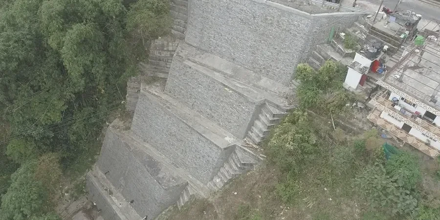
The IBC 2018 and ASCE 7-22 require explicit slope stability evaluations for any structure founded on or near slopes steeper than 33%, a condition frequently encountered across Louisville's dissected terrain. Where the Highland Rim escarpment transitions into the Ohio River floodplain, residual soils overlying weathered Silurian and Devonian shale create geotechnical conditions that demand rigorous analysis. The alternating sequence of competent limestone and weak shale layers, compounded by the region's average 45 inches of annual precipitation, produces pore-water pressure regimes that frequently govern the factor of safety. Our team applies limit equilibrium methods and, when necessary, finite element modeling to evaluate rotational, translational, and compound failure surfaces in these complex Louisville formations. A thorough understanding of local colluvial deposits and the underlying karst features is what separates a desk-study from a reliable CPT testing program that feeds accurate strength parameters into the analysis.
In Louisville's weathered shale terrain, the critical failure surface is rarely circular; translational sliding along the residual soil-bedrock interface governs most slope stability problems.
Our approach and scope
Local geotechnical context
Louisville's eastward expansion into the knob country during the 1960s and 1970s placed hundreds of residential subdivisions directly onto cut-and-fill benches carved into shale slopes, many of which were constructed before modern geotechnical standards existed. The 1997 Beargrass Creek landslide, which displaced a section of Grinstead Drive and exposed a sewer interceptor, remains a clear reminder that these older slopes can fail when prolonged saturation reduces matric suction in the colluvium. Today, infill development on lots previously deemed unbuildable introduces new risk: excavating a basement into an existing 30-degree slope can daylight a weak clay seam within the Waldron Shale that was never mapped. Without instrumentation and staged construction controls, these sites can lose global stability during a single heavy rain event. Our analysis quantifies this risk through back-analysis of local case histories, calibration of strength parameters to Louisville-specific geologic units, and specification of drainage measures such as horizontal wick drains or toe buttresses that mitigate the long-term degradation of the factor of safety.
Applicable standards
IBC 2018/2021 – Chapter 18 Soils and Foundations, ASCE 7-22 – Minimum Design Loads for Buildings and Other Structures, ASTM D1586 – Standard Test Method for SPT, ASTM D2487 – Classification of Soils for Engineering Purposes (USCS), FHWA Geotechnical Engineering Circular No. 5 – Micropile Design and Construction, USACE EM 1110-2-1902 – Slope Stability
Complementary services
Limit Equilibrium & Finite Element Analysis
We develop two-dimensional models using Spencer and Morgenstern-Price methods for static and pseudo-static conditions, incorporating site-specific shear strength parameters from consolidated-undrained triaxial tests on undisturbed samples of the Louisville colluvium and residual shale.
Drainage Design and Slope Instrumentation
Analysis outputs define the required capacity for horizontal drains, surface water diversion swales, and toe buttresses. We specify inclinometer and piezometer arrays to monitor pore pressure dissipation and confirm that the achieved factor of safety meets the IBC threshold throughout the design life.
Typical parameters
Common questions
What is the typical cost of a slope stability analysis for a residential lot in Louisville?
For a standard residential hillside lot in Jefferson County, a complete slope stability analysis including site investigation, laboratory testing, and engineering report typically ranges from US$1,200 to US$3,940. The final cost depends on the slope height, access constraints, number of borings required, and whether instrumentation such as piezometers must be installed to monitor groundwater conditions over a wet season.
Which Louisville neighborhoods require a slope stability report for building permits?
Metro Louisville's Planning and Design Services triggers a geotechnical review for any site with slopes exceeding 20% within 50 feet of the proposed structure. This commonly affects properties in the Cherokee Gardens, Mockingbird Valley, Glenview, and eastern subdivisions along Floyds Fork where the terrain transitions from the Highland Rim into deeply incised creek valleys.
How does the weathered shale bedrock affect slope stability analysis in Louisville?
The Waldron Shale and Osgood Formation shales weather rapidly upon exposure, forming a thin layer of low-plasticity clay with residual friction angles that can drop to 18–22 degrees. This weathered seam, when saturated, creates a preferential sliding surface. Our analysis always models this interface explicitly rather than assuming a homogeneous soil mass, using residual strength parameters derived from ring shear tests or back-analysis of local failures.
What factor of safety does Louisville require for permanent slopes?
The IBC adopted by Louisville Metro requires a minimum static factor of safety of 1.5 for permanent slopes supporting structures. For seismic conditions, a minimum of 1.1 is required under the pseudo-static loading defined by ASCE 7-22 for Seismic Design Category B. Steeper temporary construction slopes may be permitted at 1.3 provided they are monitored and protected from saturation.