A 20-ton excavator with a 24-inch smooth bucket moves into position off Bardstown Road, and the first cut begins. In Louisville, exploratory test pit work is about direct visual access to the subsurface — seeing the contact between weathered limestone residuum and overlying alluvial silts without relying solely on probe readings. Our lab staff arrives on site as the pit reaches two feet. We log moisture changes, note root penetration depth, and start bagging disturbed samples at half-foot intervals. The bucket exposes a chert gravel lens at four feet, and right there we decide to take a bulk sample for lab grain size analysis rather than guessing gradation from the spoils pile. Pit walls are photographed with scale, and a field sketch captures the dip of the residual soil boundary at the south face. By the time the excavator backfills, we have a continuous record that no split-spoon sample can match for lateral continuity. In Louisville’s mixed karst-influenced terrain, combining a test pit program with targeted SPT drilling often gives the clearest picture of foundation conditions.
A single test pit can expose four feet of continuous stratigraphy that would take three borings to infer — and still miss the chert lens.
Our approach and scope
Local geotechnical context
A contractor on a warehouse expansion near the Jefferson Riverport cut a test pit to seven feet in what looked like stiff natural clay on the boring logs. The pit wall held for thirty minutes, then a two-foot slab peeled off the east face and slumped into the bottom. No one was inside — the excavator operator had stepped away — but it stopped work for the afternoon. The issue was a thin silt seam at five feet that had been invisible in SPT spoon samples but was fully exposed in the pit wall. After that, we required shoring or a stepped bench cut for any exploratory test pit deeper than five feet on that site. IBC Section 3304 and OSHA Subpart P set the trench safety rules, and our lab does not proceed beyond four feet without a competent person evaluating the excavation. In Louisville’s silty alluvium, apparent stability can degrade quickly with vibration from nearby traffic or a change in moisture. We log every seam, fracture, and seepage point because that information drives the shoring design and the foundation engineer’s decisions.
Applicable standards
ASTM D2487 — Standard Practice for Classification of Soils for Engineering Purposes (Unified Soil Classification System), IBC Section 3304 — Excavation and grading safety requirements, OSHA 29 CFR 1926 Subpart P — Excavations (trenching and shoring), ASTM D1556 — Standard Test Method for Density of Soil in Place by the Sand-Cone Method, ASCE 7 — Minimum Design Loads for Buildings and Other Structures
Complementary services
Utility coordination and site prep
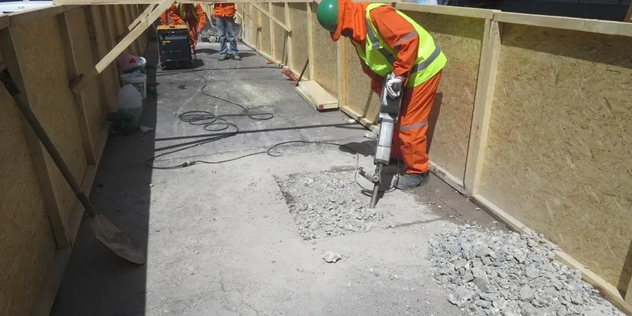
We contact Kentucky 811 before any excavation, mark the proposed pit locations, and coordinate with the excavator operator to maintain safe offsets from gas, electric, and fiber lines.
Pit logging and photogrammetry
Each pit wall is photographed with a 4-foot scale rod in place, logged for stratigraphy, color, moisture, consistency, and structure. Munsell color charts and field sketches document every face.
In-situ density and sampling
We run sand cone density tests on the pit floor per ASTM D1556 or drive thin-walled tubes horizontally into the wall for moisture-density profiles. Bulk disturbed samples go to the lab for classification and Proctor correlation.
Groundwater and seepage monitoring
After the pit reaches final depth, we observe seepage inflow for a minimum 20-minute stabilization period and record the equilibrium water level, critical for dewatering and basement wall design.
Typical parameters
Common questions
How deep can an exploratory test pit go in Louisville?
Most test pits in the Louisville area reach between 4 and 14 feet, limited by excavator reach and safety regulations. Deeper than 5 feet requires shoring or benching per OSHA Subpart P. In the Ohio River alluvium, we often stop at groundwater or when the pit walls show signs of raveling.
What does an exploratory test pit cost in Louisville?
A single exploratory test pit typically ranges from US$560 to US$940, depending on depth, access, spoil disposal, and whether in-situ density testing or extensive sampling is included. That covers utility clearance, excavator time, field logging, and the summary report.
Can you collect undisturbed samples from a test pit?
We can drive thin-walled Shelby tubes horizontally into the pit wall to recover relatively undisturbed samples in cohesive soils. For granular materials, we take bulk disturbed samples and measure in-place density with a sand cone on the pit floor, then reconstruct density conditions in the lab.
How do you handle groundwater encountered in a test pit?
When groundwater appears, we measure the depth to seepage and the inflow rate. After a 20-minute stabilization period, we record the equilibrium water level. If the pit is deeper than the water table, we may use a small pump to keep the floor dry during logging, but we document all observations before dewatering begins.